
Construction Progress Drone Photography in San Antonio
Show how your project is taking shape with aerial photography and site documentation. Patriot Drone Operations provides construction progress imagery for teams that need a clear overview of a site and a visual record to share with stakeholders.
Discuss a single project milestone or recurring imagery based on your schedule. We plan the work around the site, the views you need, and the way the finished files will be used.
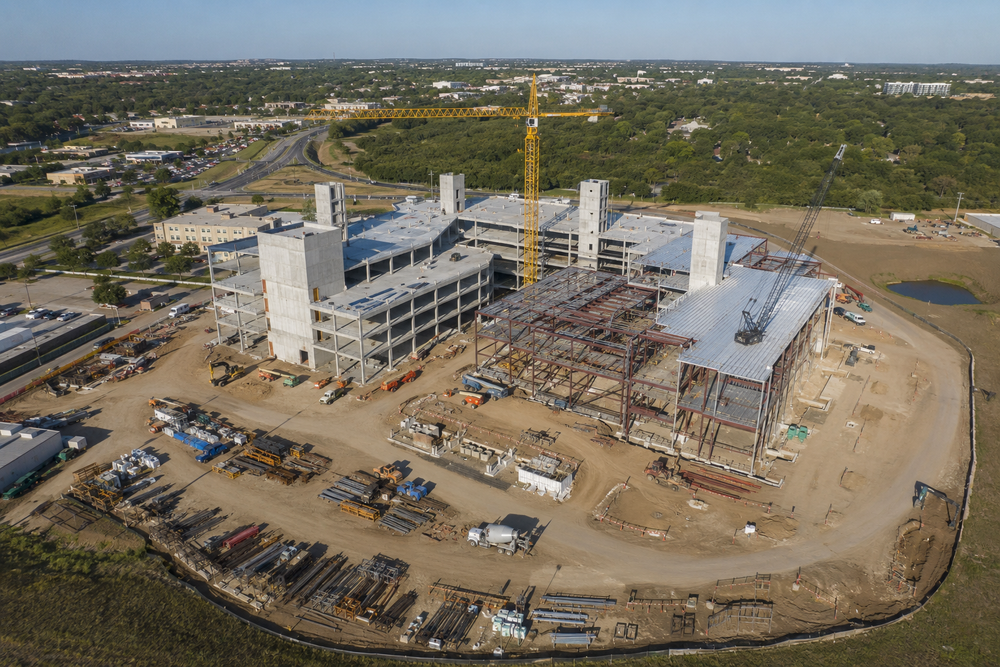
A useful view of the whole project
An aerial overview can help show the relationship between work areas, structures, access routes, and the surrounding property. Closer project views can document the areas your team wants to communicate at a particular stage.
Before arranging a flight, decide what your audience needs to see. An owner update, internal project record, and promotional presentation may need different views and file formats. Share that purpose so the scope reflects the actual use.
Plan around the milestones that matter
Recurring progress imagery works best with a clear starting brief. Tell us:
- Which site areas and project stages you want documented
- Whether the request is for one visit or recurring coverage
- What dates or milestones drive the schedule
- Who will coordinate access and on-site activity
- Who will receive the imagery and how they plan to use it
If comparing progress over time is a priority, ask about repeat views when planning the work. Site changes, weather, and flight conditions can affect the views available on each visit.
Confirm the files your team needs
Our aerial services include edited photography, web-ready imagery, and video options. Scope, resolution, licensing, and turnaround are confirmed before the project begins.
Construction progress documentation is part of our non-survey project support. If your project requires certified measurements, boundary work, or specialist technical conclusions, coordinate those requirements with the appropriately qualified professional.
Construction progress photography questions
Can we request recurring progress photos?
Yes. Recurring progress imagery is part of our site-documentation offering. Share your expected project stages and timing so a suitable schedule and scope can be discussed.
Is drone progress photography a land survey?
The offering described here is aerial imagery and non-survey project documentation. If survey work or certified measurements are required, discuss those needs with the relevant professional before choosing the project deliverables.
Can we use the images in an owner update or marketing material?
Tell us how you intend to use the photos or video. File formats, resolution, licensing, and final deliverables are confirmed before the project begins so the agreed output matches that use.
Build a visual record of your project
Send the site location, current stage, and the milestones you want documented.